Sample Chapter
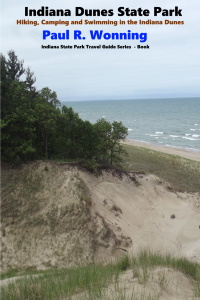
Indiana Dunes State Park
Dune State Park Geology
The geologic features of Dune State Park have their origins in the rising and falling water levels of Lake Michigan as well as the winds coming off the lake.
As the Ice Age ended between 12,000 to 18,000 years ago, the Wisconsin glacier began to melt and the basin carved by the immense ice sheets filled with water. This immense sheet of ice was as much as a mile thick in many places. As the waters rose a ridge of sand and gravel developed beneath it. About 4500 years ago the lake water levels began falling. As they fell the sand ridge became exposed to the winds, which formed them into the dunes we see today. The wind also created the sand beaches that line the lake’s shore. The winds continue to drive these dunes inland. Plants especially suited for this environment protect the dunes from this wind erosion, further influencing the landscape. A number of geologic features make up the terrain of Indiana Dunes State Park and the Indiana Dunes National Park.
Sand Dunes
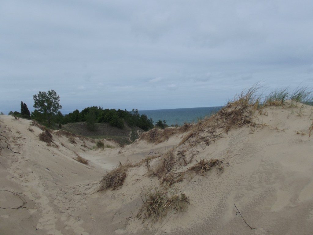
The sand dunes at Dunes State Park and the Indiana Dunes National Park begin with rock formations that lie along the Lake Michigan shoreline. Wind, rain, freezing and thawing along with wave action from the water erodes these formations, creating silt that currents deposit along the beach, which forms an ideal place for sand dunes to form. The incessant winds coming in off the lake drive the sand particles to form drifts of sand that form the embryos of the dunes along the lake. Sand dunes are active, mobile landforms that move and change over time.
The Role of Vegetation in Dune Formation
The dunes rely on the existence of a plant called beachgrass (Ammophila breviligulata), which grows in abundance along the beach. The beachgrass slows the wind, allowing the sand to begin piling up. When clumps of beachgrass are located close together, the clumps of sand drifts unite, creating a structure called a foredune. This is a long sand ridge that forms when the wind blows sand, in a process called saltation.
Foredunes
In the initial stage the dune, called an incipient foredune, the fast growing roots of the beachgrass stabilize the growing foredune, creating an environment where other vegetation can grow. This includes shrubbery, trees huckleberry, wintergreen, goldenrod, and smaller plants. Once the foredune becomes stable, it is called an established foredune which will not change noticeably over time unless other events like blowouts occur.

Blowouts
A blowout occurs when something removes the vegetation from a portion of the foredune. This could be human foot traffic or erosion from heavy wind or rain. When the blowout occurs, the opening presents wind with an opening through which it accelerates and drives sand along the leeward (side towards the land), forming a large pile of sand. Huge blowouts can reveal the remains of trees buried by the sand many years ago.
Anatomy of a Dune
A sand dune consists of several parts, which include the stoss slope, the crest and the slip face. The stoss (windward) side is the side facing the prevailing wind and features a gentle slope that extends to the crest, or top, of the dune’s ridgeline. The sheltered leeward side has a steeper slope, called a slip slope.

Migrating Dunes
The removal of vegetation from a dune or an increase in the prevailing wind can create a migrating dune. These dunes can move several feet a year and can bury entire forests as they move. Lowering winds and an increase of vegetation can stabilize a migrating dune.
Tolleston Dunes
Located in Indiana Dunes National Park, this grouping of sand dunes formed about 4700 years ago when water levels in Lake Michigan was about 25 feet higher than today. Visitors to the park can explore these dunes on the Tollston Dunes Trail, which has an elevation of about 605 feet above sea level.
Trail and overlook are located at:
5634 U.S. Highway 12 (Dunes Highway),
Portage, IN 46368
Calumet Dunes
The Calumet Dunes, also located in the Indiana Dunes National Park, formed about 12,000 years ago when the dunes lay along the shoreline of Lake Michigan. These dunes are about 620 feet above sea level. A short, paved .5 mile trail allows hikers to explore the dune system. The trail head is located at:
1596 North Kemil Road (300E)
Chesterton, IN 46304
Glenwood Dunes
The Glenwood Dunes are 640 feet above sea level and formed about 11,000 years ago.
The Glenwood Dune Trail is 6.8 miles and connects to a trail system that offers over 15 miles of hiking opportunities. The trail is easy to moderate in skill level with packed dirt, sand or boardwalk surface.
Glenwood Dunes Lot (main):
1475 North Brummitt Road
Chesterton, IN 46304
Indiana Dunes State Park Dunes
The dune system at the park developed between 4500 and 3500 years ago. Visitors to the park can explore many of the dunes in this system.
Other Features of the Park
Moraines
A moraine forms as a glacier retreats, leaving behind a pile of gravel, sand and earth.
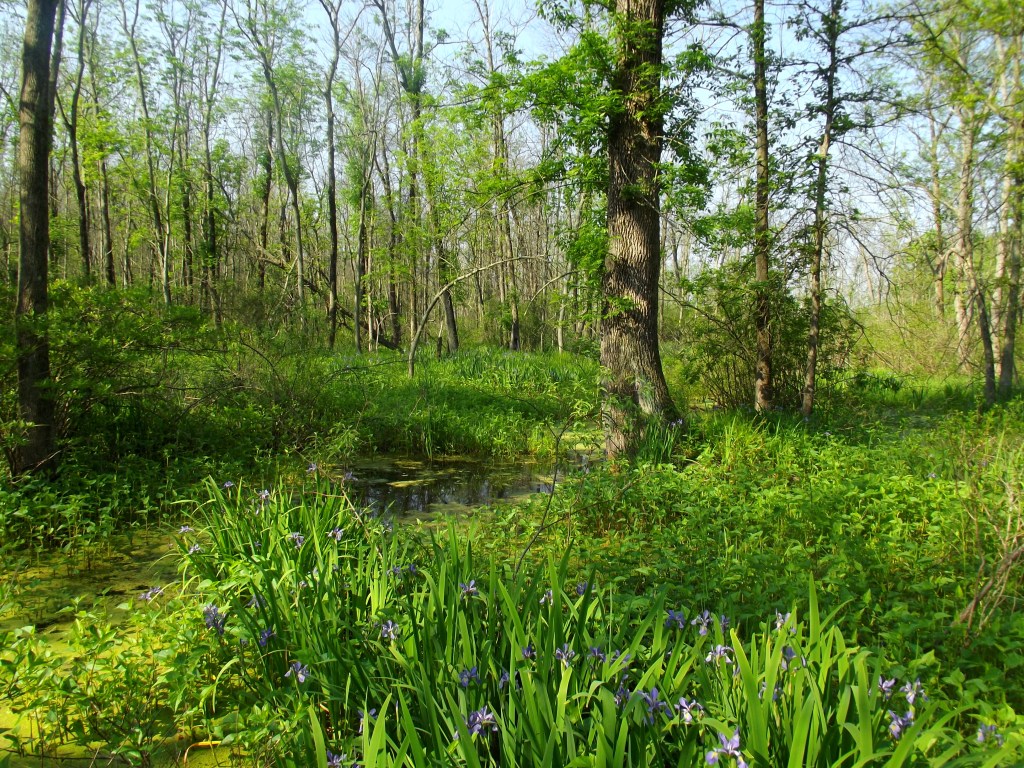
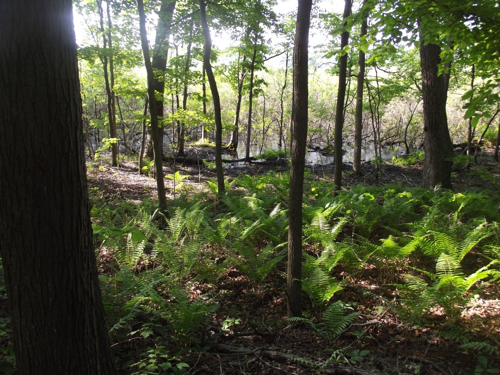
Marshes
A marsh forms in low lying areas next to a body of water and mostly consists of herbaceous plants as opposed to woody trees and shrubs. The marshes in the dunes area include a wide variety of waterfowl, other scores of other birds. The plants in the marshes include a wide variety of sedges, grasses, cattails and rare algal species.
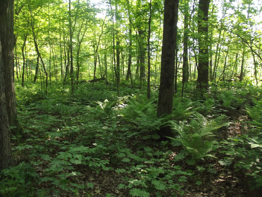
Forest
The forests include black gum, white oak, and white pine trees as well as Jack pines, black oaks, basswoods, and ashes.
Savannahs
A savannah is defined as a mix of forest and grassland where the trees are widely spaced and do not form a closed canopy. The Black oak savannas of the dunes area are some of the last remaining savannah of this type in the world.
Bog/fen
A bog differs from a fen in that the water in a bog is acidic in nature and a fen is alkaline. Bogs have rainfall or snow melt as their water source, and have low nutrient levels. Underground springs or seeps feed fens, which generally have higher nutrient levels. The different ph. levels of the water lead to differing types of plants that inhabit them. Visitors will find bogs and fens throughout the area.
Fresh Water Swamp
The swamp is a lowland permanently saturated with water that has trees as the predominant vegetation.
Swale
Generally, swales are low lying wet or water filled areas that runs parallel to a beach.
Prairies
A prairie is a level or rolling grassland area. Visitors to the park can explore Dune Prairie, described later in the book, while hiking in the park.
Top of Page
Mossy Feet Books on Social Media
Twitter
Linkedin
YouTube
Pinterest
Online Sources for Mossy Feet Books
Paul Wonning’s Books on Amazon Page
Paul Wonning’s Books on Scribd Page
Paul Wonning’s Books on Apple
Paul Wonning’s Books on Kobo
Paul Wonning’s Books on Barnes and Noble
Paul Wonning’s Books on 24 Symbols
Paul Wonning’s Books on Google Play
Paul Wonning’s Books on Indigo
Paul Wonning’s Books on Playster
Paul Wonning’s Books on OverDrive
Search Paul Wonning on Ingrams
Table of Contents
© 2023 Paul Wonning
